What official material confirms
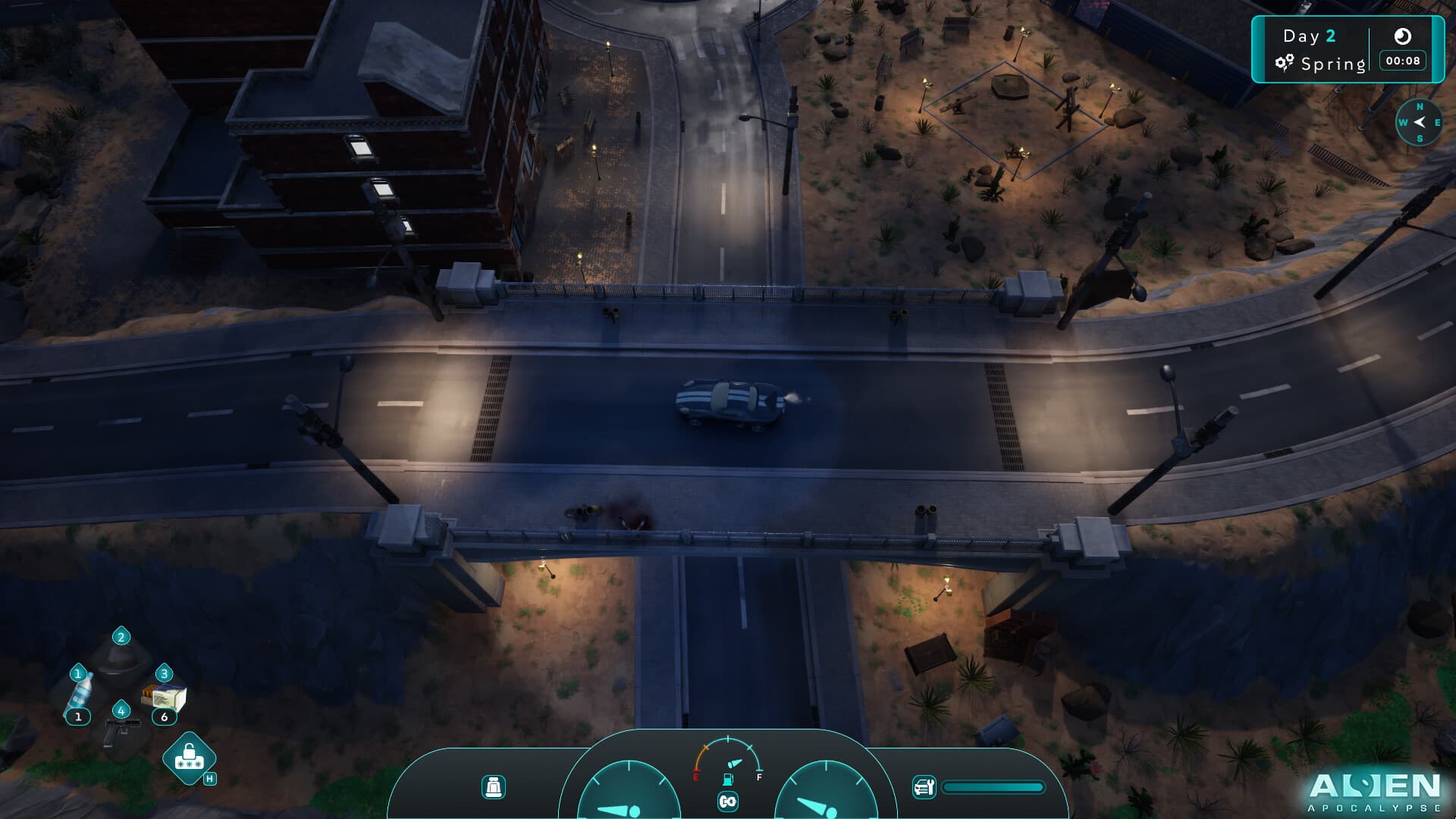
Available imagery supports varied environments and traversal. It does not establish every point of interest or an optimal route.
Use landmark chains
Choose a start, one intermediate marker, and a return direction. This creates a repeatable route without a complete map.
Expand in short loops
Return after one useful segment, resolve needs and inventory, then extend. This separates navigation errors from survival pressure.
Keep map data auditable
A future location entry needs build, method, recognizable evidence, and persistence. Coordinates without a verified reference will not be facts.